Your First Frost Date Is a Coin Flip (and Your Low Corner Loses First)
Somebody will tell you your first frost is around the middle of October, and you will write it on the calendar, and you will treat it the way you treat a train time. It is not that kind of number.
An average first frost date is the middle of a spread of dates collected over decades. Roughly half the years came in earlier than it. The spread around it is measured in weeks, not days, which means the honest version of your frost date is something like “some time in a four-week window, probably.” Planning a harvest against the midpoint of that window is planning to be caught out every other year.
That is the first problem with the number, and it is the smaller one.
The thermometer is not in your garden
The record that date comes from was kept somewhere. Usually an airport, sometimes a municipal building or a water treatment plant, and almost never anywhere that resembles a back garden. Weather stations sit in open, flat, well-drained places, often surrounded by a lot of concrete and tarmac that holds the day’s heat and gives it back all night.
Depending on where you are, that station might be fifteen miles away and two hundred feet lower. A town center runs warmer than the fields outside it, and the difference on a still October night is not subtle. So the date you have been given describes a real place, and the real place is not your vegetable bed.
Frost is a local event, not a temperature
This next bit explains most of the frost damage that arrives on a night the forecast said would be fine.
On a clear, still, dry night, the ground radiates its heat straight up into open sky with nothing to bounce it back. The layer of air right at the surface, the few inches your lettuce lives in, gets colder than the air five feet up where the thermometer hangs. You can wake up to frosted leaves on a morning the official low was several degrees above freezing, and nobody has made a mistake.
Wind stops it, because moving air keeps mixing the cold surface layer back into the warmer air above. Cloud stops it, because it reflects the heat back down. Humid air slows it, because as dew forms it releases a little heat and the temperature stalls. Clear, calm and dry is the recipe, and if you learn to feel that combination on an autumn evening you will get more warning from stepping outside at nine o’clock than from any ten-day forecast.
Cold air runs downhill and piles up against things
Cold air is denser than warm air, so on a still night it behaves a bit like water. It slides down any slope, however gentle, and it pools wherever it cannot keep going.
This is why gardens have a corner that goes first. Look for the low point, and then look at what is across the slope below it: a solid fence, a thick hedge, a garage wall, a bank, the side of a raised bed. Anything that dams the flow makes a frost pocket behind it, and that pocket can run a few degrees colder than the top of the same garden. A gap under a fence at the low end drains it, which is one of the few frost fixes that costs nothing.
The reverse works too. A plant under the edge of a tree, or tucked against the house under an eave, has something overhead to radiate against, and it will come through a night that kills its neighbor six feet out in the open. A south-facing brick or stone wall holds the day’s heat and gives it back for hours after dark. If you have ever wondered why the tomato by the back door was still going in November, that is the answer.
So you do not have one frost date. You have a cold corner that goes first, a middle that goes with everyone else, and a warm strip against the house that might buy you two or three weeks.
Two thermometers and a notebook
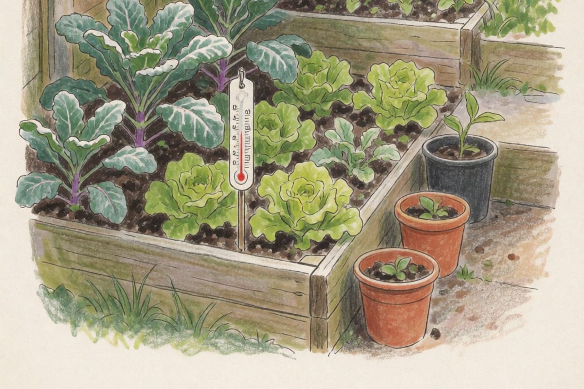
The fix is unglamorous and it works. Buy two cheap min and max thermometers, put one in the coldest-looking spot and one wherever you would put late crops, at plant height rather than head height, and read them with your coffee for the next six weeks. Write down the number and the sky.
One autumn of that tells you more about your garden than any map. Two autumns and you know, roughly, that the bottom bed runs three or four degrees under the forecast on a clear night and the bed by the wall runs two over. From then on the published date is doing the job it is good at, which is telling you when to start paying attention, and your own numbers are doing the job it was never able to do.
Where all of this stops being true
There is one night a year that ignores everything above, and it is worth knowing so you do not feel cheated by it.
When a cold front comes through with wind behind it, the whole air mass is below freezing. There is no cold surface layer, no pocket, no sheltered corner. The wall does nothing, the tree does nothing, and a row cover, which works by trapping radiated ground heat, does much less than it does on a still night. That is the frost that takes the whole garden at once, and the only thing that saves a crop from it is having already picked it.
Which is the real argument for knowing your own garden rather than the chart. The chart tells you a season is ending somewhere near a certain week. The cold corner, watched for one autumn, tells you which Tuesday to go out with a basket.